Select activities / attractions that interest you
To view different categories of attractions; select the ones you want to view
Be aware of our news, our events and get to know
the Eeyou Istchee Baie-James region, a land of great outdoors.
The new 2024-2025 tourist guide is finally here! Order your copy or download it!
To view different categories of attractions; select the ones you want to view
∙ "Route Billy-Diamond" Itinerary (formerly route de la Baie-James)
∙ "The 49th parallel" Itinerary
∙ "The Grand Tour" Itinerary
∙ "Into the North" Itinerary
∙ "The Great Escape" Itinerary
∙ Access to the region by airplane and bus
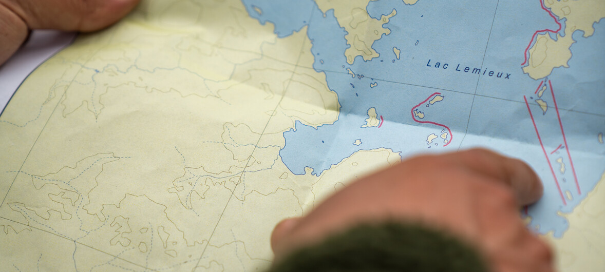
∙ Map of Eeyou Istchee Baie-James
∙ Motorcycle touring
∙ List of rustic sites, lookouts and trails to enjoy along the roads
Some cities and communities are situated a few hundred kilometers of each other. It is recommended to always refuel gasoline when possible.
Route Billy-Diamond (formerly route de la Baie-James) is a 620 kilometers (385 miles) long road that crosses the region from south to north. It is paved and plowed in the winter. The Cree communities of Waskaganish, Eastmain, Wemindji, and Chisasibi are accessible by road.
Since the road crosses an isolated and remote territory, for your safety, travellers are asked to register at the Eeyou Istchee James Bay Regional Government Tourism Office 6 kilometers north of Matagami.
Building the La Grande complex required the construction of an east-west road, the Route Transtaïga. In all, Route Transtaïga is about 700 kilometers (435 miles) long. This gravel road starts a few dozen kilometers south of La Grande Airport and leads to the facilities at La Grande-3, La Grande-4, Laforge-1, Laforge-2, Brisay (not accessible to the public), and, finally, the Caniapiscau diversion structures.
Route 167 connects Saint-Félicien on the northwestern shore of Lac Saint-Jean to Chibougamau; it is an asphalted roadway. It leads to the Cree community of Mistissini as well as to Route du Nord and Route des Monts Otish.
Route du Nord connects Chibougamau to Route Billy-Diamond (formerly route de la Baie-James), coastal Cree communities, and Radisson. This gravel road is 407 kilometers long (252 miles). Driving on it is an adventure in itself.
Route du Nord was inaugurated in 1993. Built in support of Hydro-Québec's Eastmain project, it is also used by local logging companies for timber transport.
The junction of Highway 167 and the northern end of Highway 113 is about 10 kilometers south of Chibougamau. The trip from Chibougamau to Lebel-sur-Quévillon will take you past the Cree community of Oujé-Bougoumou (about 25 km from Highway 113), the town of Chapais, and the Cree community of Waswanipi. From Lebel-sur-Quévillon, a logging Road, R-1005, leads to the Route de la Baie-James and Matagami. Route R-1005 is 106 kilometers long, including 88 kilometers of gravel road.